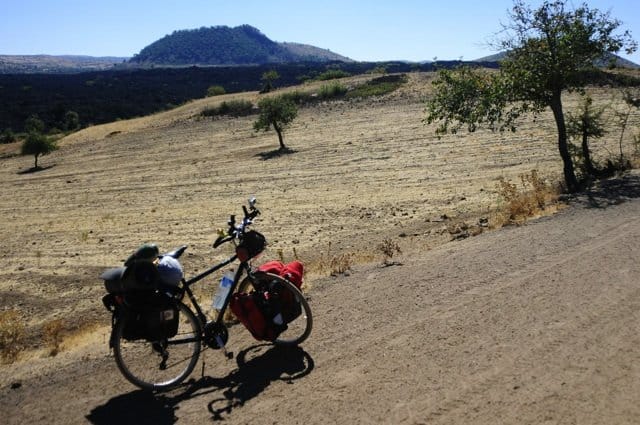
Turkey cycling between volcanoes in the geopark of Kula
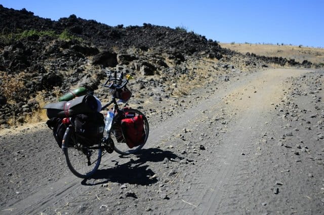
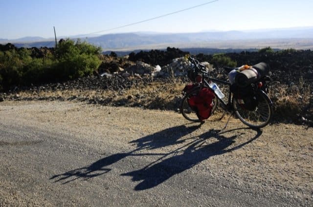
The landscape around Kula volcano is stunning: over 80 volcanic cones, craters and basaltic columns from ancient lava flows cover this area. This portion of Manisa Province, in western Turkey, is an ode to the bursting ground. Baki rides his bike for a journey to the Center of the Earth. The Anatolian peninsula is a great place for well-trained and adventurous cyclists, with many dirt and secondary roads – “toprak yollar e tarla yolları” – and uncontaminated lands.
Since 2013 Kula volcanic field is part of the European Geoparks Network, that includes territories with a particular geological heritage and a sustainable territorial development strategy supported by a European program to promote sustainable development and geotourism, under the auspicies of Unesco. The number of geoparks in Europe is currently 64, in 22 different Countries.
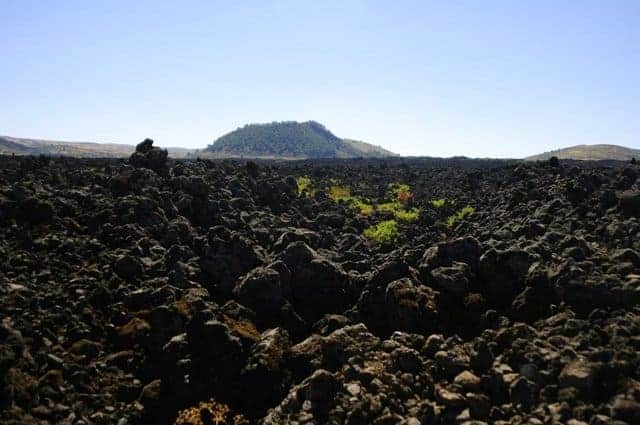
Kula is the first Turkish geopark ever. The site is located 12 km west of the town of Kula. The area covers 400 km squares and is quite bare, with a typical Mediterranean climate. The Greek geographer and historian Strabo visited this land about the time of the birth of Christ. In his work Geographica tagged this place as Katakekaumene, i.e. “Burnt Land”.
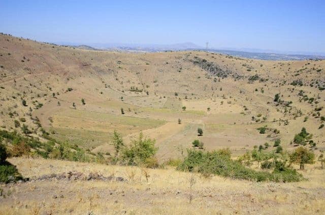
Baki leaves the level ground and climb up to the origin of this scorched surface, reaching a 750 meters height. «The latest eruptions at Kula are already in the history of the human race, and they probably date back to more than 10.000 years ago– he says -. However, people living in this area swear that “when air turns cold an hot volcanic steam thickens, especially in the crater close to Divlit volcano”».
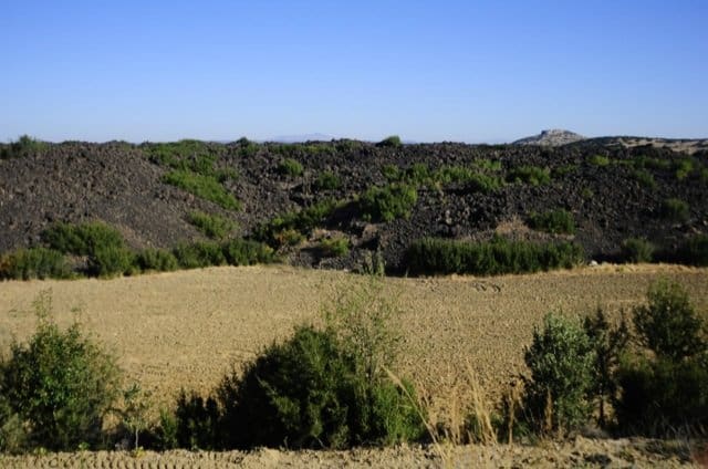
In the rough or rubbly surfaces composed by ʻaʻā flows scientists found a scorpion fossil, supposed prehistoric human footprints and traces of a dog, which tell the animal was domesticated in ancient times.
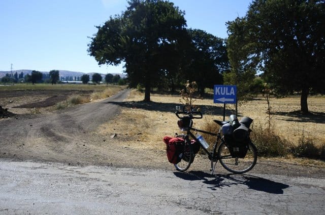
At the present time this area is almost hinabited by farmers. They populate the beautiful villages receiving visitors in a very friendly way. They cultivate the land, make excellent raisins, but at the same time they are witnesses of gross injustice. «Some people want to exploit the volcanic cones for several activities, such as agriculture and construction. Many others want to alter the structure of the panorama». Farmers make it clear the region is special, that is «SİT alanı» (protected area). «The National park to protect this area is still now an aim», Baki affirms.
People are warm here, but as much as tourism facilities are concerned there is a lot of work to do. «There are not many hotels and campings, whereas wild camping here is great». Cyclists are recommended to carry a couple of inner tubes with them in case they get a puncture. Last but not least, in order to avoid bad surprises Bikemap is always a very useful tool to track your routes.
Silvia Ricciardi & Baki Berk Kayalar
Foto di Baki Berk Kayalar
